Coochiemudlo Island Land Management Plan
Rob Friend and Associates Pty Ltd, with EPM Consulting and John Smout Social Planning, were commissioned by the Redland Shire Council in agreement with the Department of Natural Resources and Mines and representatives from the Coochiemudlo Island Consultative Committee to prepare a land management plan (LMP) for all public open space within Coochiemudlo Island.
The LMP has been developed consistent with the provisions of the Land Act 1994 and will assist in determining future land tenure arrangements by identifying the most appropriate uses of the land and the management actions for the trustee.
- The area covered by the Land Management Plan includes:
- The Victoria Parade esplanade (also known locally as the Emerald Fringe);
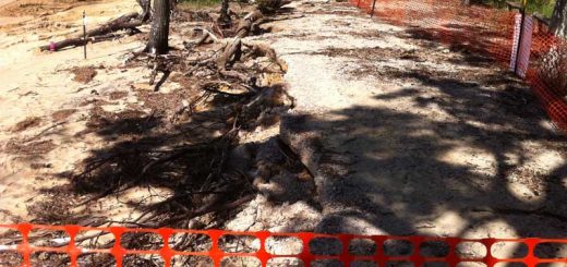
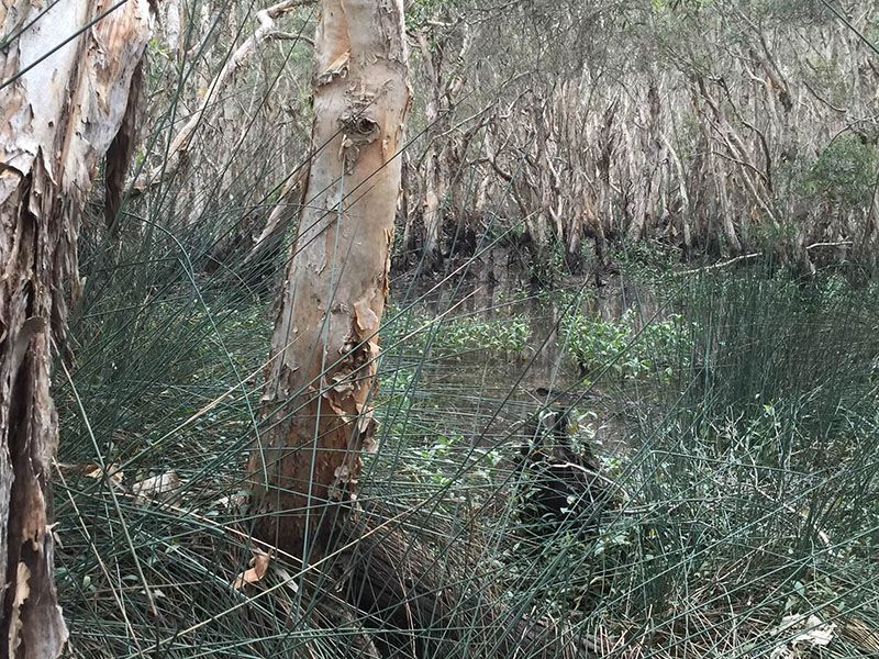
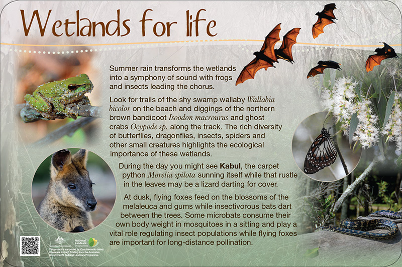
- The Melaleuca Wetlands Reserve;
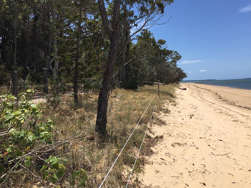
- Reserve/open space land at Main Beach including the area around the community Hall;
- The Coochiemudlo Golf Course;
- The Council owned lands in the north-western corner of the island; the drainage reserves in the middle of the island and the upper reaches of Curlew Creek.
The objectives of the Coochiemudlo Island Land Management Plan were to:
- Document the existing environmental, recreation, sporting, physical, social, Aboriginal and European cultural heritage values of the reserve land;
- Provide an overview of the regional and local legislative and planning considerations affecting management potential of reserve land;
- Identify current management issues and objectives;
- Detail a practical action plan for conserving and enhancing the values of reserve land; and
- Identify the appropriate location and features of a recreation trail around the circumference of Coochiemudlo Island.
Link – Coochiemudlo Island Land Management Plan