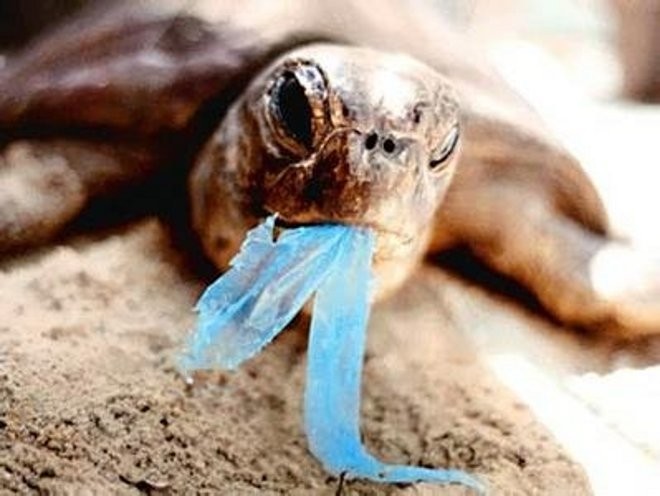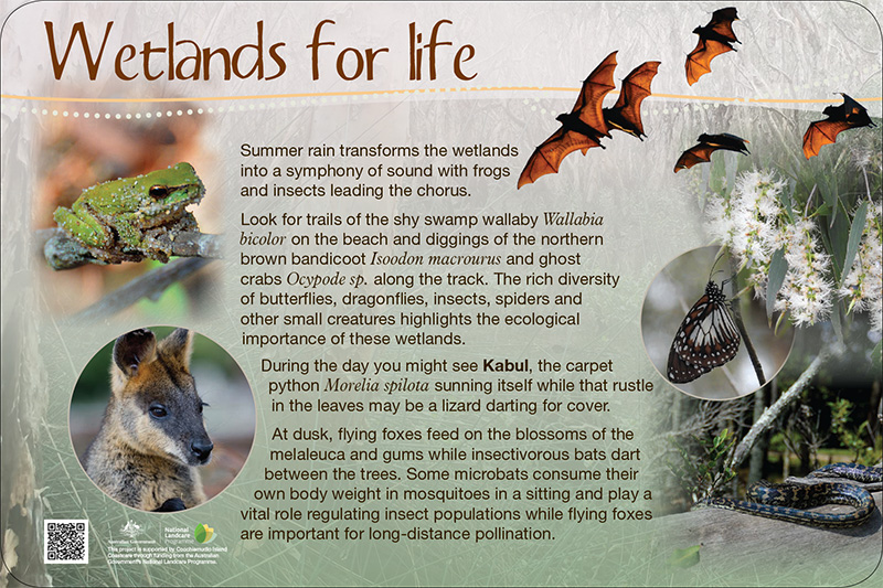
The Melaleuca Wetlands on Coochiemudlo Island form part of the Moreton Bay Ramsar site recognised as internationally significant under The Convention on Wetlands of International Importance. Moreton Bay is one of the most important shorebird sites in Australia and during summer plays host to over 30 species of migratory shorebirds, including many from Siberia and Alaska. These birds depend on wetlands and foreshores for roosting and feeding while the mangroves, sandy beaches, mudflats and seagrass beds provide habitat for shellfish, crustaceans, fish, turtles, dugong and dolphins.
The Melaleuca Wetlands
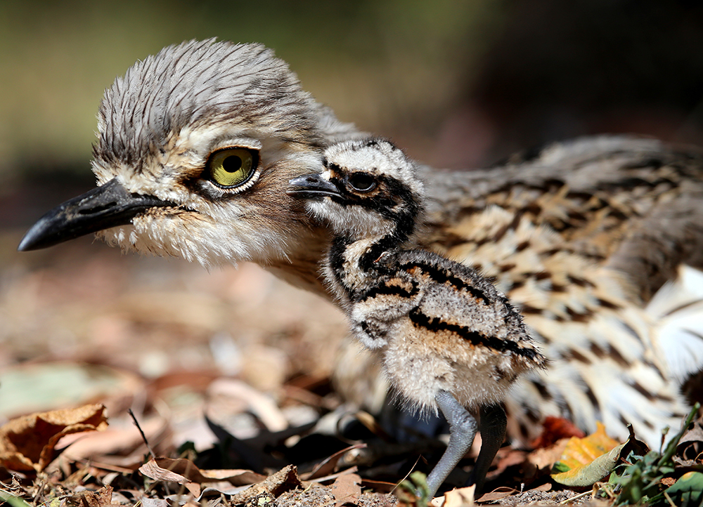
The wetlands are considered a hot spot for flora and fauna with recent studies identifying over 200 species of plants including endangered orchids, more than 100 bird species, and many native animals and invertebrates.
The broad-leaved paperbark Melaleuca quinquenervia dominates the canopy, flowering for most of the year, providing a rich source of nectar and pollen for birds, bats, bees and other insects.
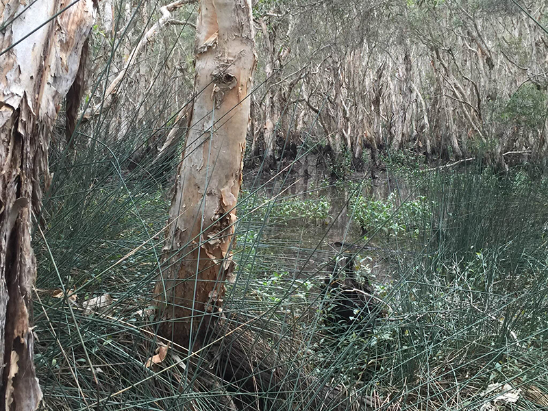
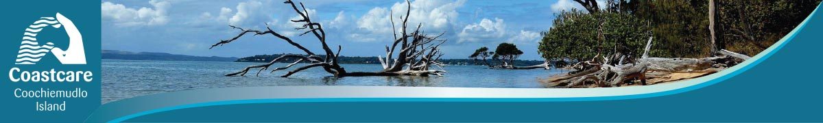
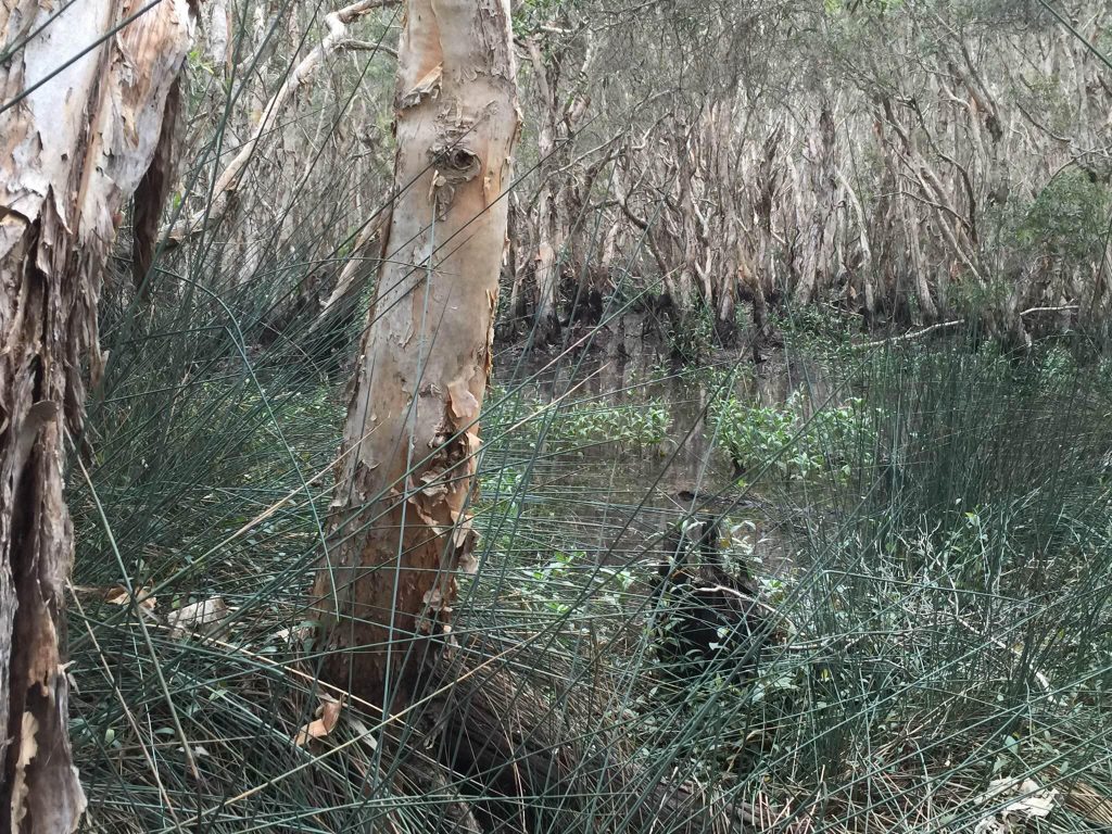
Covering just 19.5 hectares, this small but significant palustrine wetland is the major conservation reserve on Coochiemudlo Island, linking the vegetated foreshore with the western mangroves.
It is typical of many wetlands in Australia and is periodically dry, often with little water seen for much of the year.
In 1992, recognition of the wetland’s unique ecological values came when the Redland Shire Council nominated the site for listing under The Convention on Wetlands of International Importance (RAMSAR).
Subsequent studies have confirmed the important role this small wetland habitat has in supporting the conservation of rare and endangered species.
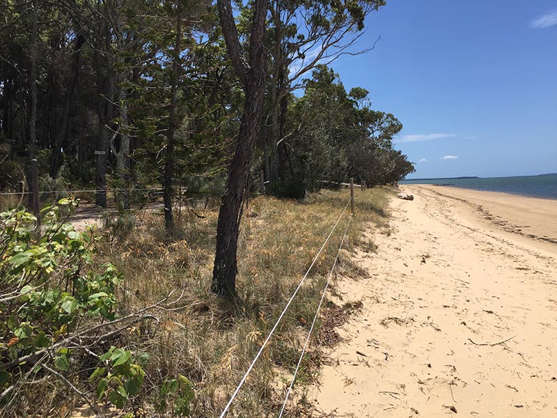
January 2013 saw a storm surge from ex-Tropical Cyclone Oswald destroy almost a kilometre of the Island’s eastern shoreline, downing trees and exposing the wetlands to the threatening process of erosion. Islanders rallied, enlisting support from government, landcare organisations and Council to mitigate damage. Weeks of beach restoration works was followed by planting and ongoing care of 6,000 trees and dune grasses. The disaster highlighted the need for a community organisation committed to the preservation of this unique natural environment. Coochiemudlo Island Coastcare, formed just days before the storm surge, continues this work today.
Interpretive Signage
Coastcare aims to help protect and preserve the amazing biodiversity of the Melaleuca Wetlands on the north-eastern corner of the Island.
One way to achieving this aim was in educating island residents and visitors on the importance of the wetlands through a successful grant for the Interpretive Signage Project which involved the research, design and installation of six signs showing the uniqueness of this special place.
Wildlife Survey
A wildlife survey of the wetlands was undertaken by Dr Ronda Green during 2016, to determine as far as possible, the resident and migratory/nomadic fauna of the Melaleuca Wetlands throughout the year, with particular focus on native mammals, birds, reptiles and frogs but including incidental observations of all fauna species. This with a view to assisting conservation management plans, including future monitoring and nature interpretation for residents and visitors.
You can find out more about the fauna in the wetlands by reading Dr Green’s November 2016 Wetlands Survey Final Report.
Back to Coastcare Projects