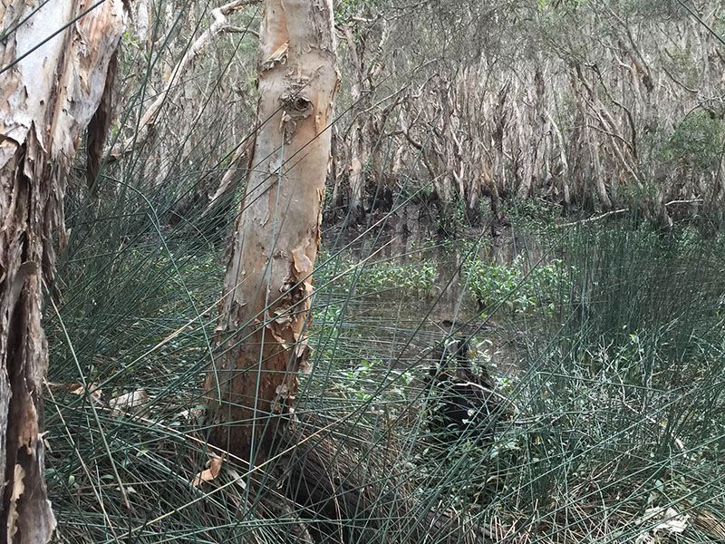
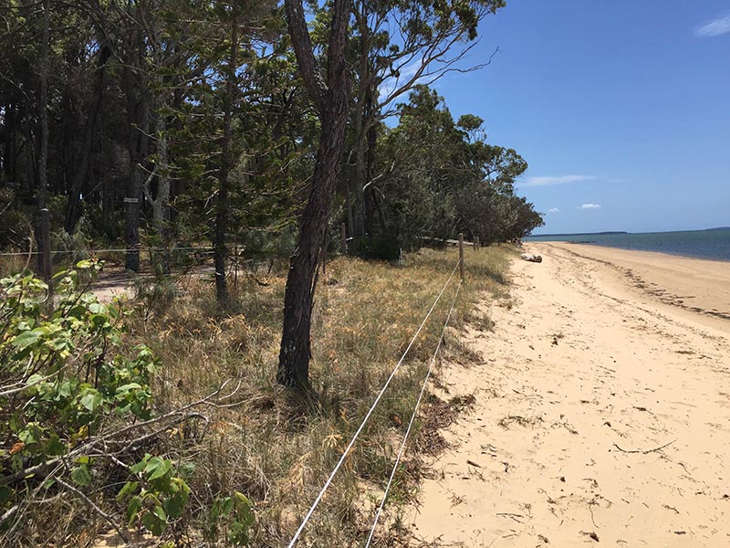
Coastcare volunteers undertake revegetation works along our Ramsar-listed Melaleuca Wetlands beach
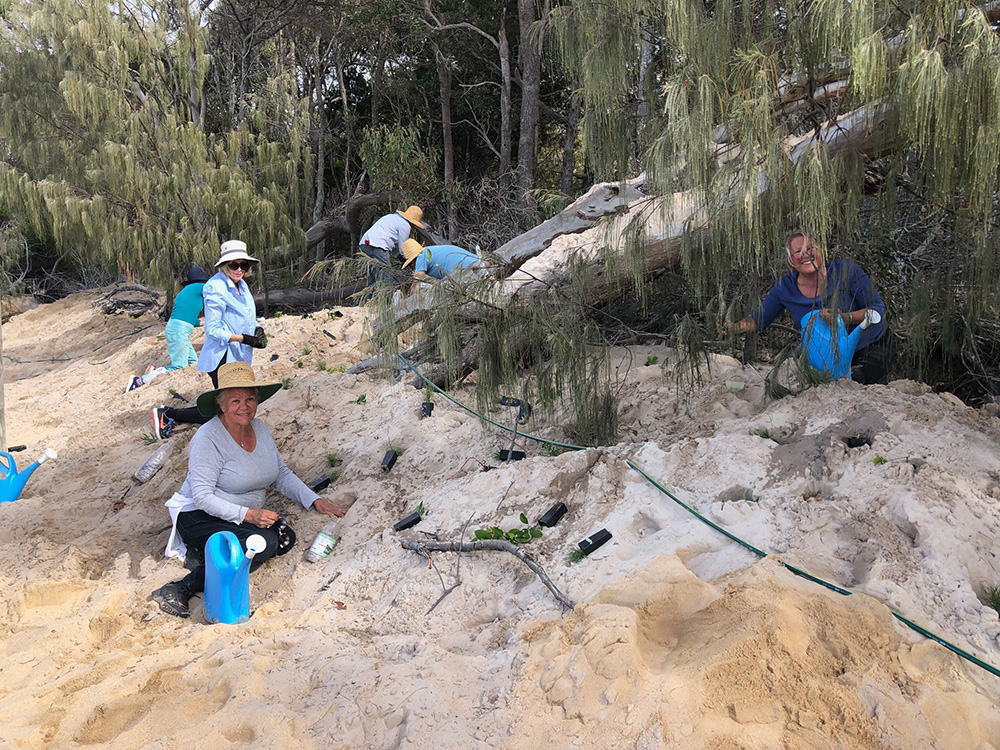
A last-minute call-out for volunteers to revegetate a new dune along the Wetlands beach was answered at short-notice by more than 32 Coastcarers on Thursday 29 and Friday 30 June.
With over 2,300 tubestock to plant over more than 100 metres of wetlands foreshore, what seemed a daunting task was enabled as volunteers took the end-of-financial-year deadline in their stride.
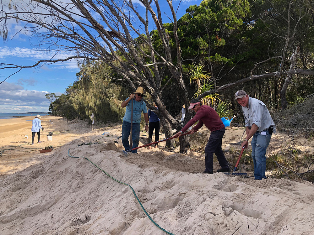
Council undertook replenishment of 430 cubic metres of imported sand along the denuded Ramsar shoreline north of the wetlands creek to the northern beach access track on Friday 16 June with a small barge delivering equipment and sand directly, between the truckloads of sand arriving via the Main Beach ramp.
Sincere thanks to Healthy Land and Water for supporting Coastcare and the restoration project with funding from the Australian Government’s National Landcare Program for substantial revegetation.
Thank you also to Conservation Volunteers Australia Project Officer, Alec Patten who rounded-up supplies from as far north as Coolum and Yandina to assist.
The roll-out of the recommendations of the Coochiemudlo Island Shoreline Erosion Management Plan has begun.
Division 4 Councillor, Lance Hewlett, said while the full recommendations of the SEMP couldn’t be delivered at this time due to budget constraints, the work would focus on the area at greatest risk where salt-water intrusion into the wetlands could occur, as well as loss of significant vegetation along the heritage-listed Emerald Fringe.
This high-risk zone in our highly valued Ramsar freshwater wetlands had been prioritised by Council for works “to preserve vegetation, habitat and cultural heritage values”, as well as preventing foreshore erosion “to protect development and infrastructure.”
Photo monitoring points established
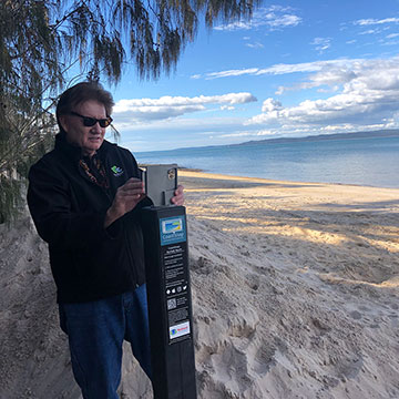
Three photo monitoring points or CoastSnap Stations, as recommended under the SEMP, have been installed. These stations are low-cost community beach monitoring technology that utilise phones as coastal monitoring devices.
Two points were installed at Norfolk Beach: one near the northern access, with another near the southern access. The third station is at Main Beach, installed on the jetty.
The collection of community-led images will provide a record of the coastline as it evolves. See Coastsnap for how it works.

