Sand replenishment underway on Norfolk Beach
The roll-out of the recommendations of the Coochiemudlo Island Shoreline Erosion Management Plan has begun just days before the end of the 2022-23 financial year. Redland City Council’s budgeted funding of $384,000 would have been lost if operational works hadn’t been completed in time.
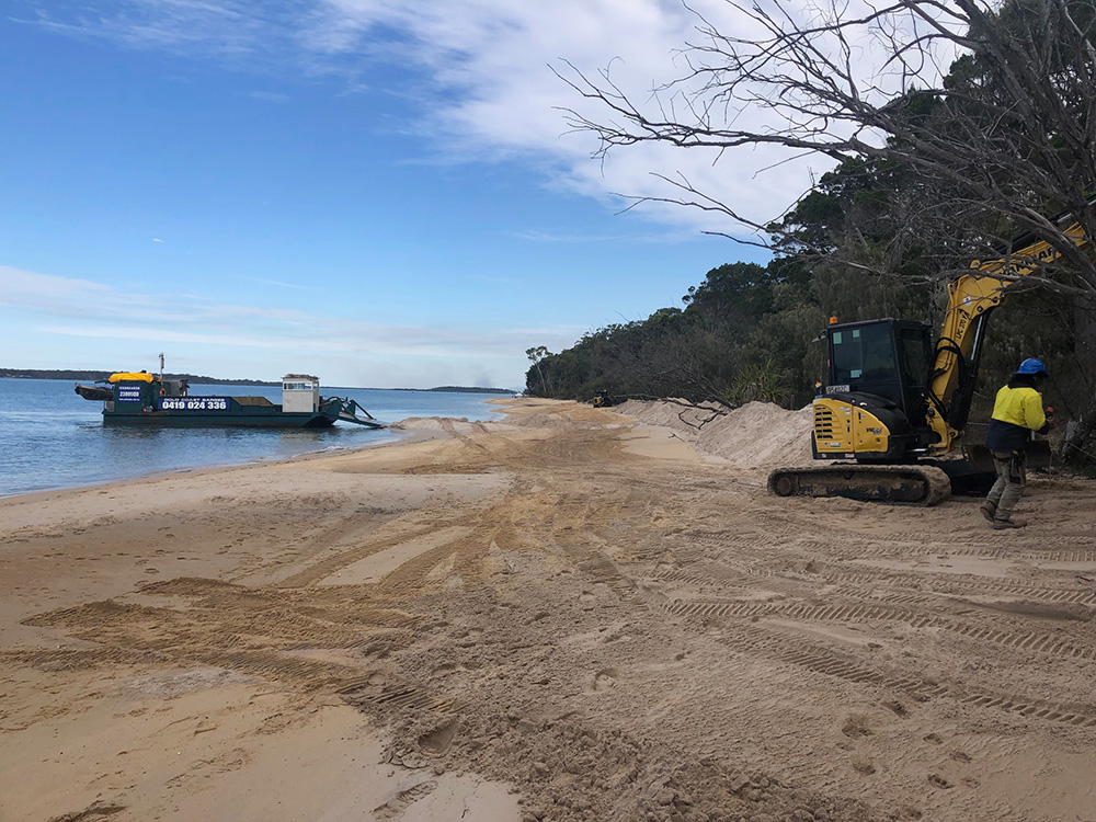
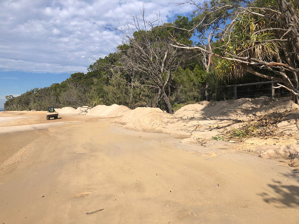
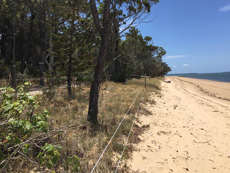
The renourishment of 430-cubic metres of sand along the denuded shoreline north of the Melaleuca Wetlands Creek to the beach access track at Control Point 4 started on Friday 16 June.
Division 4 Councillor, Lance Hewlett said while the full recommendations of the SEMP couldn’t be delivered at this time due to budget constraints, the work would focus on the area at greatest risk where salt-water intrusion into the wetlands could occur, as well as loss of significant vegetation.
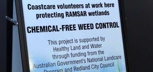
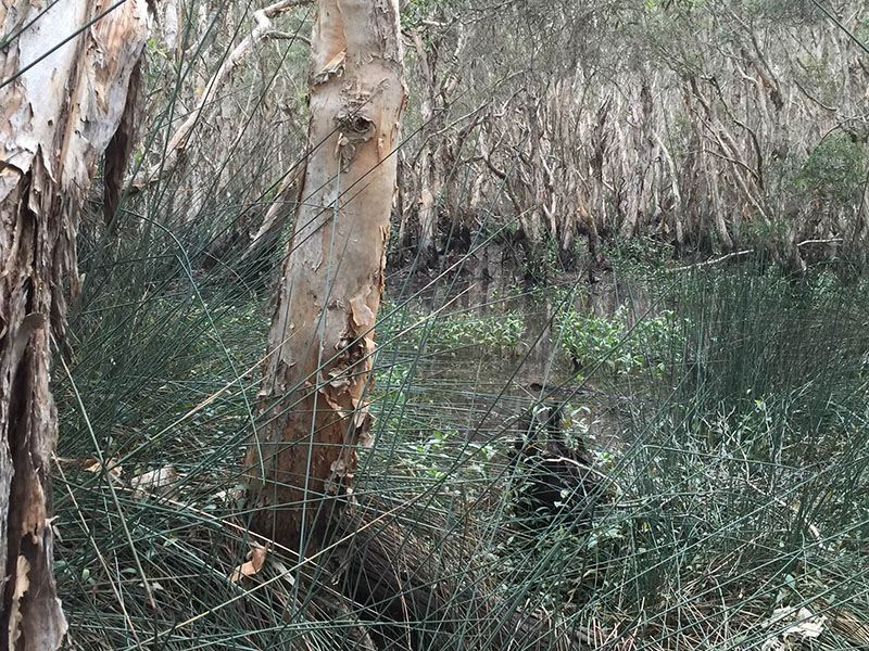
This high-risk zone in our highly valued Ramsar freshwater wetlands had been prioritised by Council for works “to preserve vegetation, habitat and cultural heritage values”, as well as preventing foreshore erosion, “to protect development and infrastructure.”
“The Coochie SEMP is the product of a productive working relationship between Council, Coochie Coastcare and the Community Reference Group that I chaired,” Cr Hewlett said. “Its key recommendations include importing new sand to accelerate the natural recovery processes and provide a buffer against further erosion.”
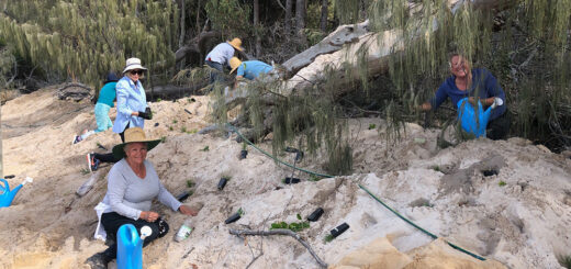
The current sand renourishment has been supplemented by funding for revegetation by Healthy Land and Water for Coastcare to use across its workzones and substantial plantings will be undertaken before the 30 June.
Photo monitoring points, CoastSnap Stations, as recommended under the SEMP are also being installed. These stations are low-cost community beach monitoring technology that utilise phones as coastal monitoring devices. CoastSnap relies on repeat photos at the same location to track how the coast is changing over time using a specialised technique known as photogrammetry. The phone cradles sit on a totem, bollard or hand-rail that is installed overlooking a beach. Using instructional signs a beach visitor is encouraged to place their phone into the cradle, take a photo, and share it to a centralised database via the free CoastSnap App or social media using a QR code and hashtag unique to each station. This collection of community led images will provide a record of the coastline as it evolves. More detail on how it works can be found on CoastSnap Community Beach Monitoring.
Two points will be installed at Norfolk Beach: one near the northern access, and another near the southern access. A Main Beach station will be installed on the jetty, however this will likely occur at a slightly later date. Final installation locations have been pre-determined with the University of New South Wales.